From the file
Field notes: the night before the first hail memo goes out
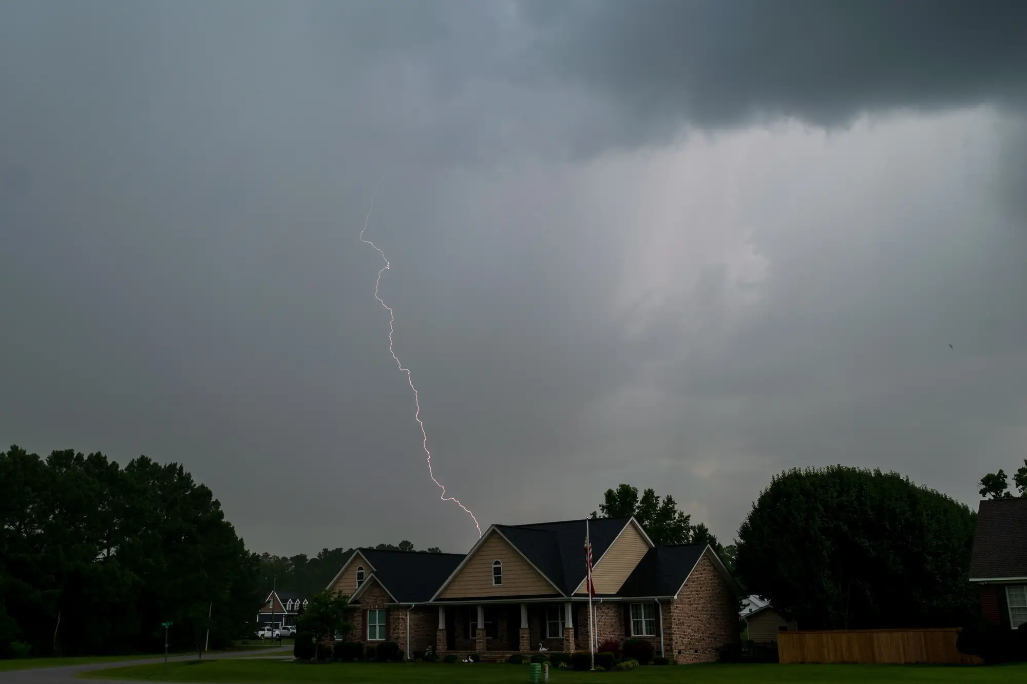
The call usually comes in around nine. Not the storm itself, that's been on the radar since late afternoon, but the moment someone upstairs says "this one's a swath event" and the catastrophe team shifts from tracking the cell to building tomorrow's dispatch order.
There's a particular kind of quiet in a cat response office the night a hail cell has just cut through a metro area. The adjusters aren't dispatched yet. The call center hasn't started logging FNOLs in real volume. But everyone who's done this more than two seasons knows what tomorrow morning looks like: a queue with no shape to it, a map with no priority order, and a phone that starts ringing before coffee's done.
So you do the thing you always do. You pull county parcel data, you cross-reference it against the storm track NOAA just posted, you start building the list by hand. ZIP codes first, then streets, then a rough mental model of "this corridor probably took the worst of it based on where the hail core tracked." It's not nothing. It's also not a memo anyone can hand to a dispatch supervisor at 7 a.m. and say "start here, these forty addresses first."
What's changed in the last few years isn't the storm. Storms have always been storms. What's changed is how long that gap between "the cell passed" and "we know which roofs took the worst of it" has to stay open. It used to be acceptable to say we won't know until adjusters are out there. Policyholders have gotten less patient with that answer, and frankly so have the people writing the loss reserves.
The field notes from these nights are oddly similar across every cat team I've talked to, regardless of carrier size. Somebody's got three monitors open: one with the radar replay, one with a spreadsheet that's going to become the morning's dispatch order, one with whatever imagery source they managed to get a flyover request into before the vendor's queue filled up. Somebody's manually eyeballing rooftops on whatever aerial pass is available, squinting for bruising patterns, trying to tell displaced ridge caps from shadow. It's slow work, and it's work that genuinely matters, because the sequence you put adjusters out in the next morning is the sequence that determines who gets a tarp on their roof before the next rain and who waits two more days.
The honest version of this story is that most of that night still gets spent reconstructing, after the fact, something the storm itself already told you. The hail core had a shape. It tracked a path. Somewhere there's a numbered list of addresses sitting inside that path, ranked by how hard they got hit, and right now that list exists only in fragments: a radar polygon here, a handful of early FNOLs there, somebody's gut sense of "that subdivision always gets it worse because of the roof pitch."
What a cat lead actually wants, the night before the memo goes out, isn't more data. It's a list that's already been through the work of matching the swath to the address book, so the dispatch order writes itself instead of getting argued over at 6 a.m. over coffee that's gone cold twice. That's the gap Hail & Wind Damage is built to close: run the post-event imagery across the whole swath overnight, flag the bruising and missing shingle and ridge cap damage per address, and hand over a numbered memo before the first adjuster's truck leaves the lot.
Nobody's claiming the night gets quiet. The phones still ring, the FNOLs still pile up, the field still has its own surprises no desk job can predict. But there's a real difference between starting the morning with a guess and starting it with a list somebody already checked against the roofs. If your team is still reconstructing that list by hand every time a cell comes through, it's worth seeing what a morning looks like when the memo's already waiting for you.